
Suddenly, carbon’s a thing. Everyone wants to know how much we’re sitting on. But how do you measure something you can’t see?
Today, Tarsh Turner’s job is to find a place. It’s in the middle of nowhere: or rather, it’s in the middle of 113,000 hectares of tiger country. It’s exactly 40 metres across. The morning is still pitch-dark, so she has one eye on the treacherous, tripping tree roots in the beam of her headtorch, and the other on the red arrow on her GPS. The place is still hours away, so for now it’s just a bunch of numbers and two letters: E1404233 N5195516.
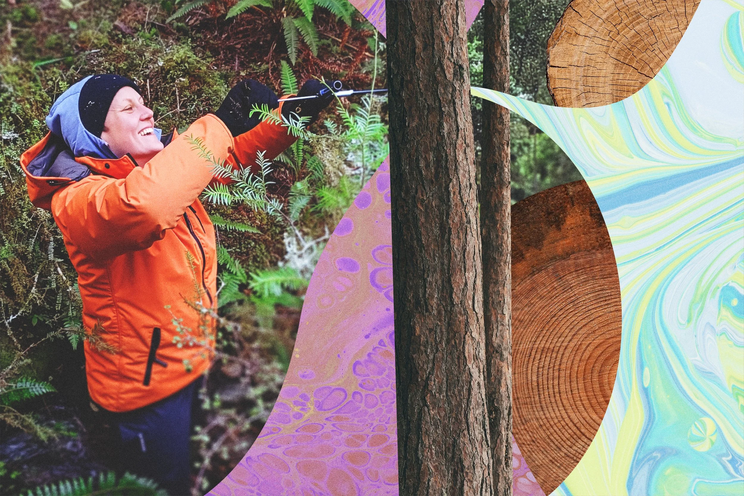
ZIP Carbon work lead Tarsh Turner takes a sample from a tree trunk as part of a vegetation monitoring programme in Predator Free South Westland.
For Turner, carbon work team lead at Zero Invasive Predators (ZIP), ‘There’ve been a lot of long days that start and end in the dark’. At least the team have had a route to follow—until now. From here, they must boulder-hop the icy headwaters of the Perth River. From experience, Turner knows today’s destination could be heaven—a sunlit, open valley floor—or hell on a hillside. It was, literally and deliberately, chosen at random. Higher up the tumbling Perth, the GPS is starting to hint at the latter. The team leave the river and bash their way up 260 untracked vertical metres of tangled contour lines.
At last, the sun clears the ridges and spires of kā tiritiri o te moana—the Southern Alps. But it won’t bless the carbon rangers today: Plot 99B faces stubbornly south. It’s August, and it’s bitterly cold.
The rangers hammer a wooden peg into the 30º slope. Then they rummage through their packs for a gadget called a Vertex, which looks a bit like an ordinary handicam, only handier: it’s a forestry survey device that uses laser and/or ultrasonic beams to measure distance, height and angles. Today, the team will need it to ‘see’ through the thick undergrowth with ultrasound to give them precise measurements.
‘We use the vertex to measure an 11.28-metre radius in the four cardinal directions: north, south, east, west, and we mark those four points with a wooden peg. They’re our visual markers for the bounds of our plot.’ Inside that, they mark out four smaller circles, again aligned with the points of the compass.
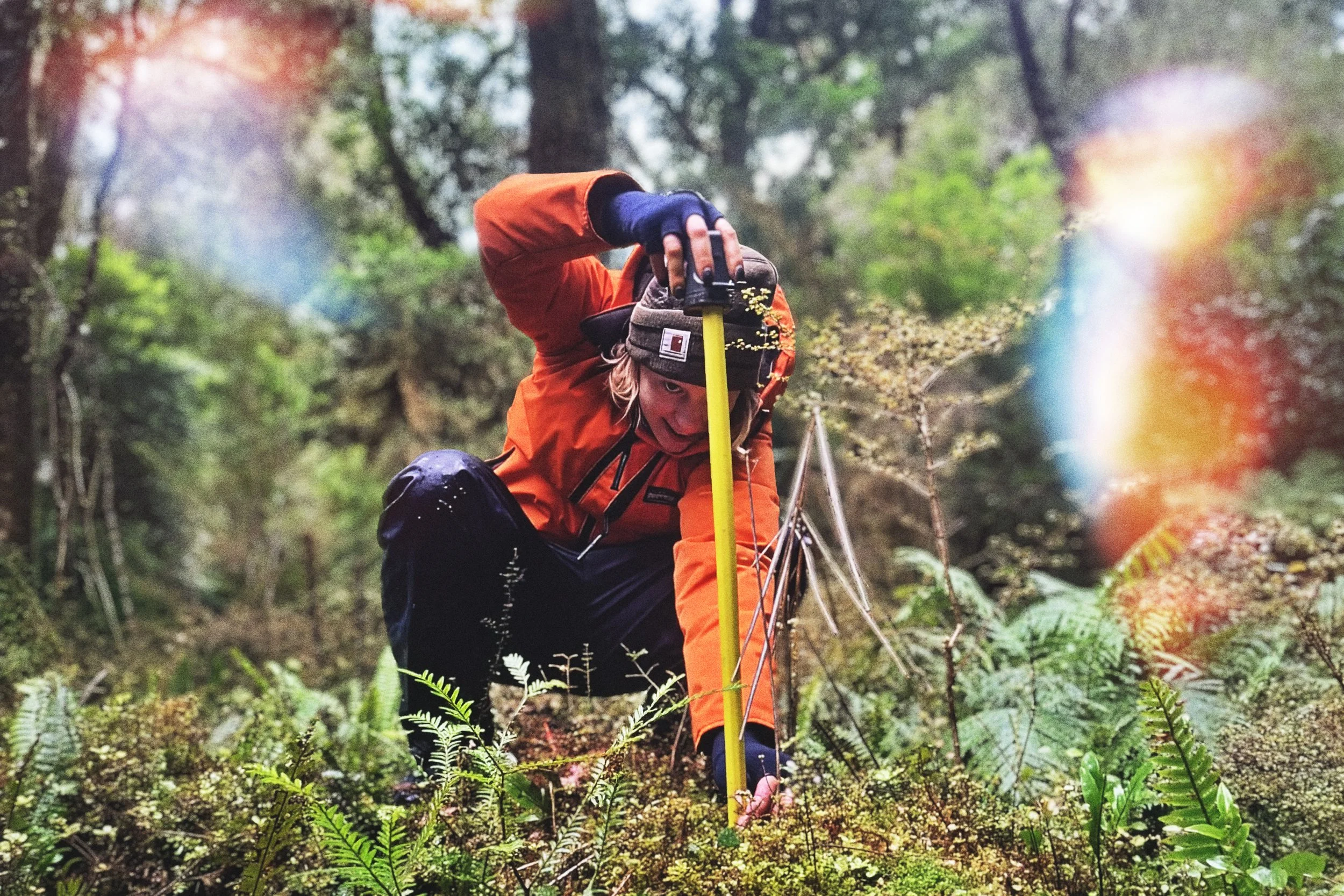
ZIP field ranger Cameron Rhoden measures a seedling in the Perth River catchment in Predator Free South Westland.
As the world keeps warming, there’s more and more talk about carbon. Humanity is increasingly preoccupied with ways to take it out of the atmosphere, where carbon dioxide (CO₂) is far and away the most abundant greenhouse gas, and securing—or ‘sequestering’—it somewhere safe; a carbon ‘sink’ where it can’t keep driving up the temperature. Luckily for us, trees are already doing this. Across the planet, vegetation currently holds 861 gigatonnes of carbon in its branches, leaves, roots, and soils. The world’s forests absorb nearly 16 billion tonnes of carbon dioxide every year.
How do we know? Because people like Tarsh Turner and her team go and measure it. With their plot all set out, they get down to the pernickety business of recording what’s growing in it. ‘Before we go trampling all over the plot,’ she says, ‘we look at the regeneration—the seedlings on the forest floor. Within those smaller circles, we count and measure all the seedlings and saplings of woody species—anything that could become a tree or a shrub—then we note it according to species and give it a little metal tag.’
This is way harder than it sounds. Inside a circle, there might be many hundreds of seedlings, and some look nothing like the adults they’ll one day be: ‘We’re on our hands and knees, and we all carry a magnifying glass,’ she says. ‘We’re looking for tiny hairs, or leaf glands—some diagnostic feature.’ One ranger’s on the ground doing the I.D.s, while another stands behind them, recording. Turner’s done this for years, ‘but we’re the only people I know that do plot work right through winter. You’re barely moving, for hours at a stretch. Your fingers go numb. Luckily, we’re kitted out with awesome puffer jackets that have made the work possible.’ But the team must stay sharp. To avoid any double-counting, they mark their progress with string lines and tapes.
No one expects them to count every last seedling in the entire site—there could be thousands. Instead, the four sub-circles are representative samples, and the data the team gathers from them will go into a model that extrapolates from there. But the work isn’t done yet. Now the team will look at bigger things.
‘We measure the diameters of the big trees,’ says Turner, ‘those wider than 10 centimetres diameter at breast height, which is a standard forestry term for 1.35 metres high.’ Using the Vertex, they also measure the heights of selected trees as well, which can help scientists figure out the volume of the tree’s stem and total biomass.
‘And in the northwest quadrant of our circle—think of it as one quarter of the pie—we also measure all tree species bigger than 2.5 centimetres at breast height.’ And because they can still hold some carbon, they take note of any standing dead trees, too.
If you wanted to know the exact amount of carbon in a forest, you’d have to measure every tree and shrub. You’d need to know the precise wood density of each species. Then you’d punch those data into known equations to estimate the biomass of all those trees to work out the carbon in them. You’d have to account for sunlight, rainfall, drainage, soil type, wind exposure—in short, it’d be the work of many lifetimes.
But by taking measurements from smaller, representative samples, Turner and her team can provide the data researchers need to calculate all that stuff across much bigger tracts of forest using sophisticated models. By the time they hoist their packs for the long walk home, the rangers will have tagged more than 200 trees, and gathered all the information needed to estimate the tonnes of carbon sequestered in this forest type, age and situation. They have now established 126 of these vegetation plots, on the way to a target of 200.
For the moment, ZIP’s research is mostly focussed on kāmahi-podocarp forest, not just because it’s one of the most common forest types, but also because invasive browsers like possums love to eat kāmahi. By comparing data from forests where possums have been eliminated, like Predator Free South Westland, with those where they haven’t, ZIP can better understand how browsers inhibit the amount of carbon a forest can store over time.
So far, the case for Predator Free 2050 has rested on benefits for native biodiversity. The work of ZIP’s carbon rangers may show us that it’s doing the global climate a favour too.